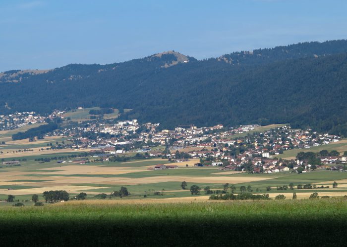
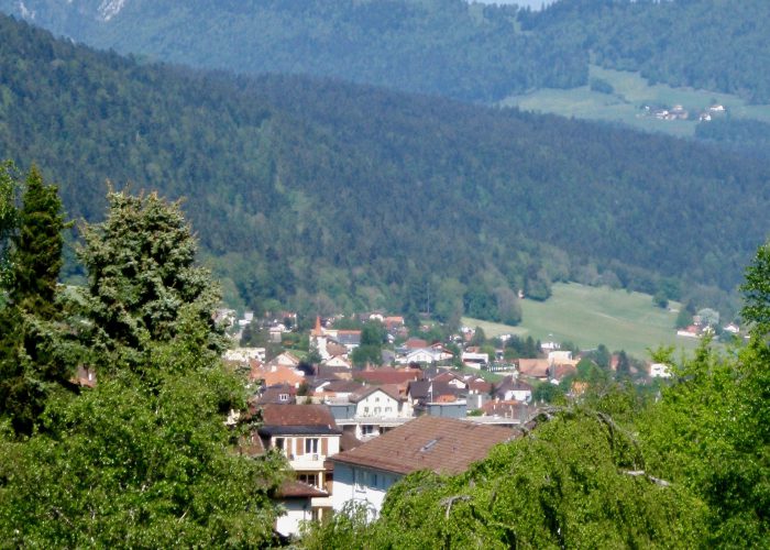
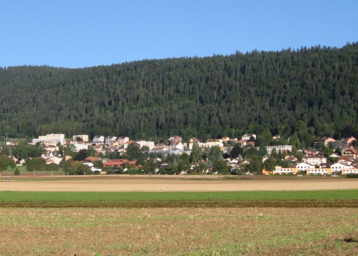
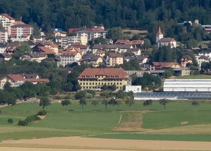
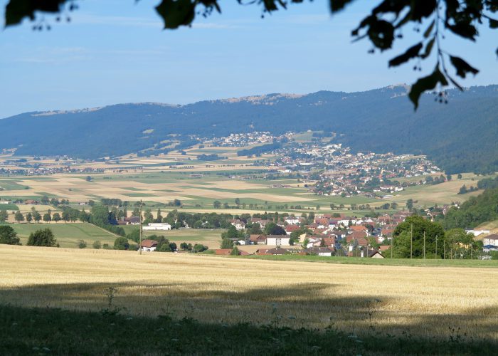
Les Hauts-Geneveys, Fontainemelon, Cernier, Chézard, Saint-Martin, Dombresson
Find your public transport schedule with : SBB – TransN – PostBus
Your access points for walk 4
| Place |
Parking |
Bus stop |
SBB station |
| Les Hauts-Geneveys |
yes |
Line 422 – Line 423 |
yes |
| Fontainemelon |
yes |
Line 421 – Line 423 |
– |
| Cernier |
yes |
Line 422 |
– |
| Chézard |
yes |
Line 422
|
– |
| Saint-Martin |
yes |
Line 422 |
– |
| Dombresson |
yes |
Line 422
|
– |
| Map of walk 4 |
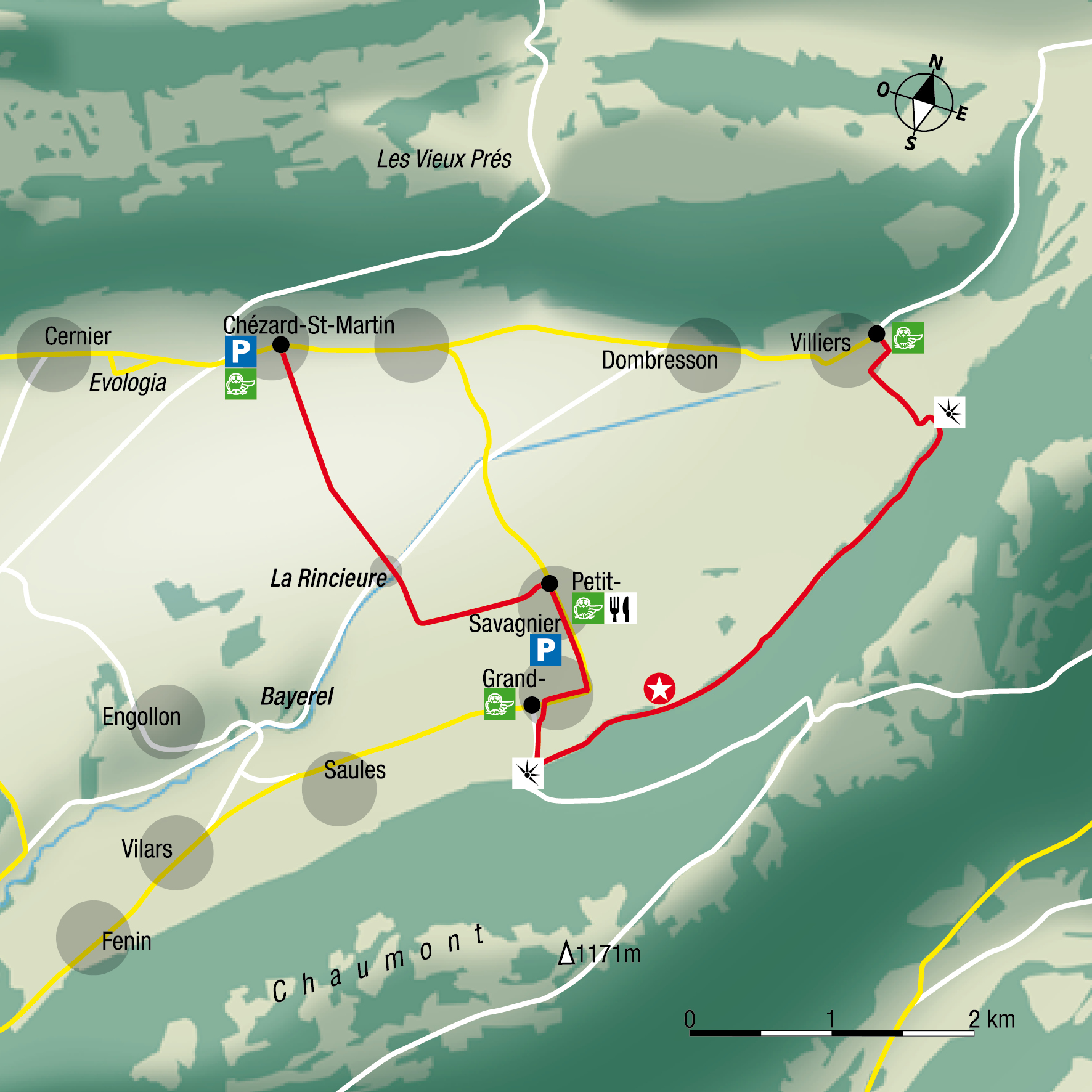 |
Course Villiers – Chézard – (print) 
|
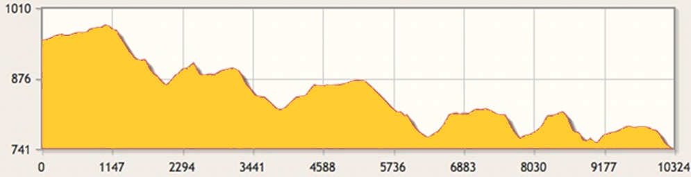
| Distance |
10.9 km |
Duration |
3 h 01 |
| Gain |
315 m |
Loss |
524 m |
| Highest elevation |
977 m |
Lowest elevation |
742 m |
|
Share the post "Walk 4 – La lisière"