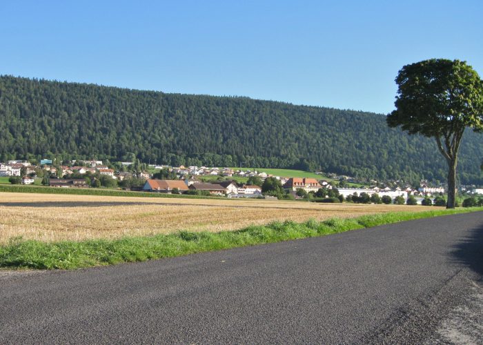
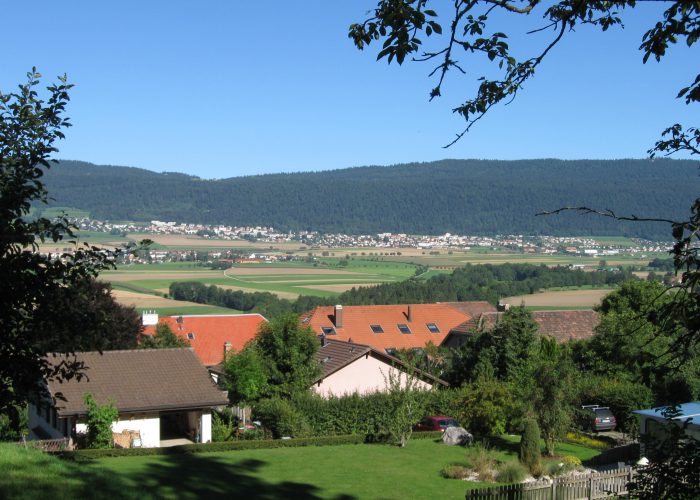
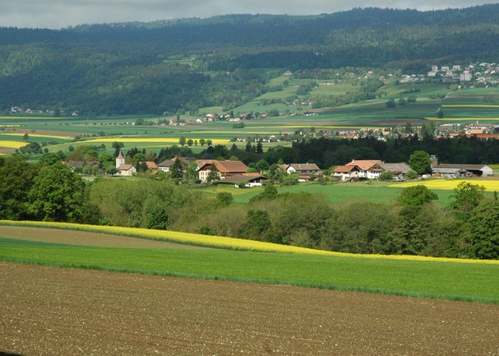
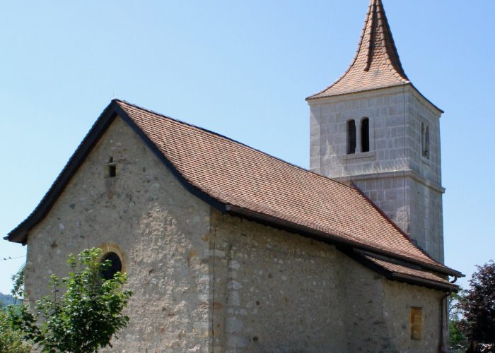
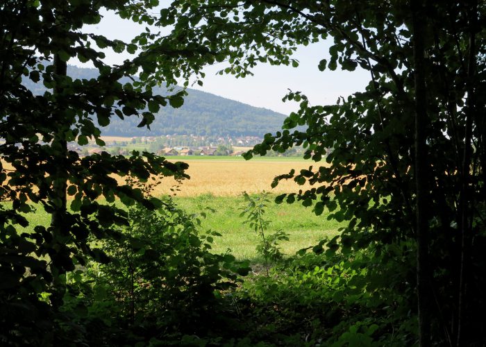
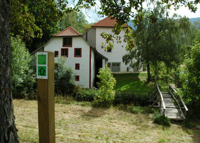
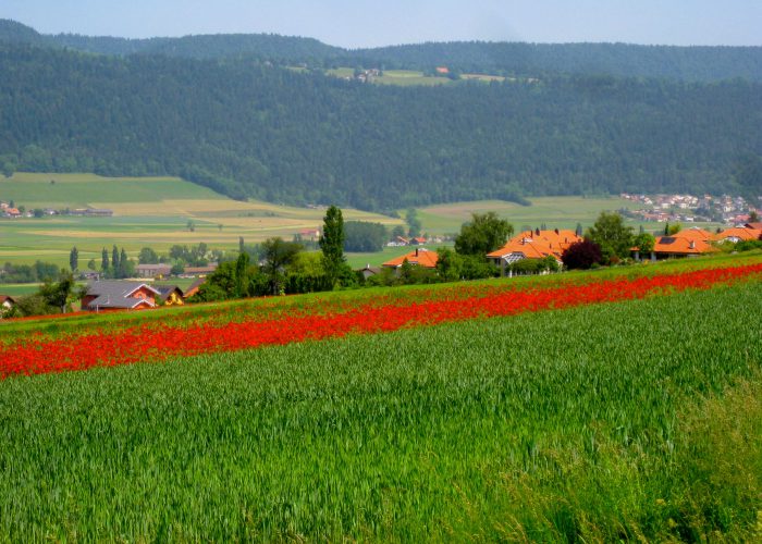
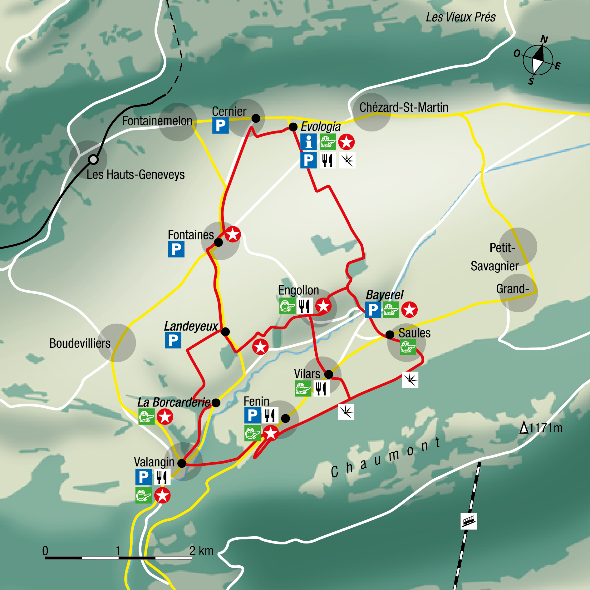
Cernier, Engollon, Landeyeux, La Borcarderie, Valangin, Fenin, Vilars, Saules, Bayerel, Cernier
Alternative shorter routes are also marked, either from Landeyeux to Engollon or from Fenin to Engollon through Vilars.
Find your public transport schedule with : SBB – TransN – PostBus
Your access points for walk 1
| Place |
Parking |
Bus stop |
SBB station |
| Cernier – Evologia |
yes |
Line 422 |
– |
| Cernier |
yes |
Line 422 – Line 423 |
– |
| Fontaines |
yes |
Line 422 |
– |
| Landeyeux |
yes |
Line 422 |
– |
| La Borcarderie |
non |
Line 422 |
– |
| Valangin |
yes – toll parking
|
Line 422 |
– |
| Fenin |
yes |
Line 421 |
– |
| Vilars |
yes |
Line 421 |
– |
| Saules |
no |
Line 421 |
– |
| Bayerel |
yes |
– |
– |
| Engollon |
yes |
– |
– |
| Map ok walk 1 |
 |
Loop via Fenin – (print) 
|

| Distance |
15.0 km |
Duration |
3 h 57 |
| Gain |
350 m |
Loss |
350 m |
| Highest elevation |
823 m |
Lowest elevation |
644 m |
|
Course Cernier/Evologia – Valangin – (print) 
|

| Distance |
6.5 km |
Duration |
1 h 33 |
| Gain |
69 m |
Loss |
210 m |
| Highest elevation |
815 m |
Lowest elevation |
647 m |
|
Course Fenin – Cernier/Evologia – (print) 
|

| Distance |
6.9 km |
Duration |
1 h 46 |
| Gain |
152 m |
Gain |
128 m |
| Highest elevation |
706 m |
Lowest elevation |
823 m |
|
Course Landeyeux – Engollon – Cernier/Evologia – (print) 
|

| Distance |
5.0 km |
Duration |
1 h 20 |
| Gain |
100 m |
Gain |
41 m |
| Highest elevation |
782 m |
Lowest elevation |
694 m |
|
Course Landeyeux – Fontaines – Cernier – (print) 
|

| Distance |
3.7 km |
Duration |
57 min
|
| Gain |
94 m |
Gain |
28 m |
| Highest elevation |
815 m |
Lowest elevation |
723 m |
|
Course Valangin – Landeyeux – (print) 
|
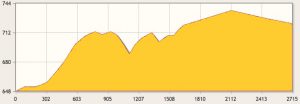
| Distance |
2.7 km |
Duration |
40 min
|
| Gain |
116 m |
Gain |
40 m |
| Highest elevation |
738 m |
Lowest elevation |
647 m |
|
Loop Cernier/Evologia via Engollon – (print) 
|

| Distance |
8.8 km |
Duration |
2 h 09 |
| Gain |
136 m |
Gain |
130 m |
| Highest elevation |
815 m |
Lowest elevation |
694 m |
|
Share the post "Walk 1 – Autour du Seyon"


