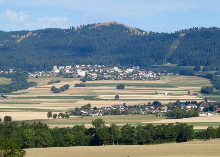
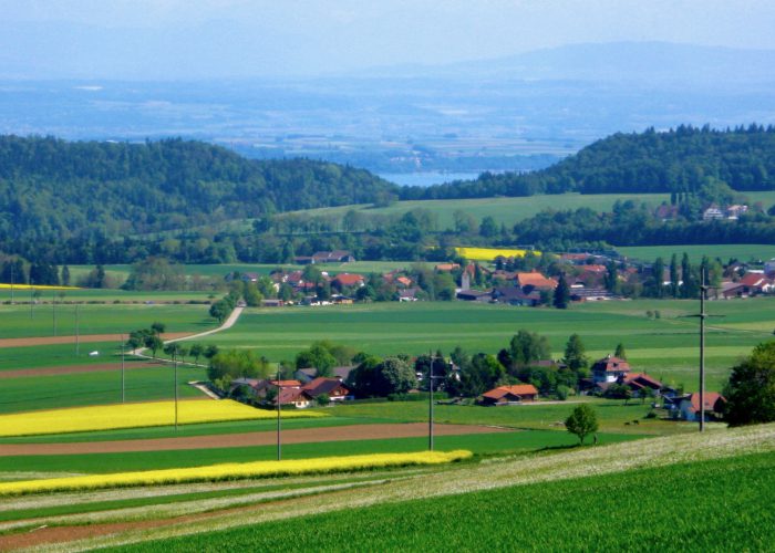
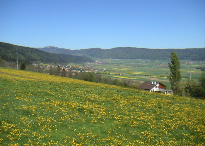
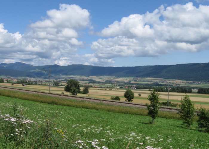
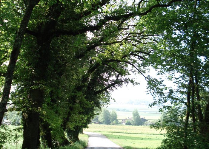
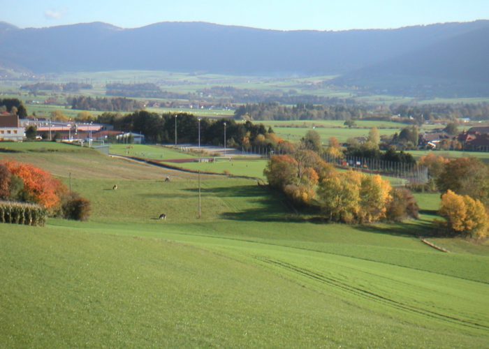
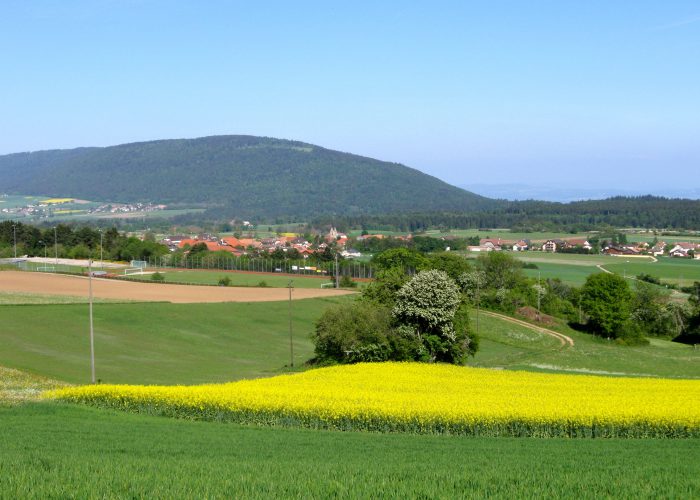
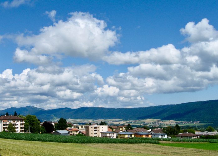
Les Hauts-Geneveys, Les Geneveys-sur-Coffrane, Montmollin, Coffrane, Valangin, Boudevilliers, Malvilliers, La Jonchère, Les Hauts-Geneveys
Find your public transport schedule with : SBB – TransN – PostBusl
| Place | Parking | Bus stop | SBB station |
| Les Hauts-Geneveys | yes | Line 423 | yes |
| Les Geneveys-sur-Coffrane | yes | Line 423 | yes |
| Montmollin | yes | Car Postal BUS21.08 | – |
| Coffrane | yes | Line 423 | – |
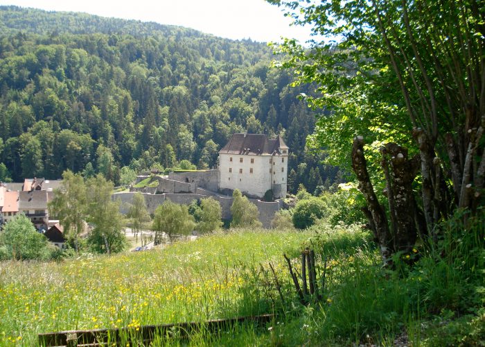
| Valangin | yes – toll parking |
Line 422 | – |
| Boudevilliers | yes – P+R |
Line 421 | – |
| Map of walk 7 |
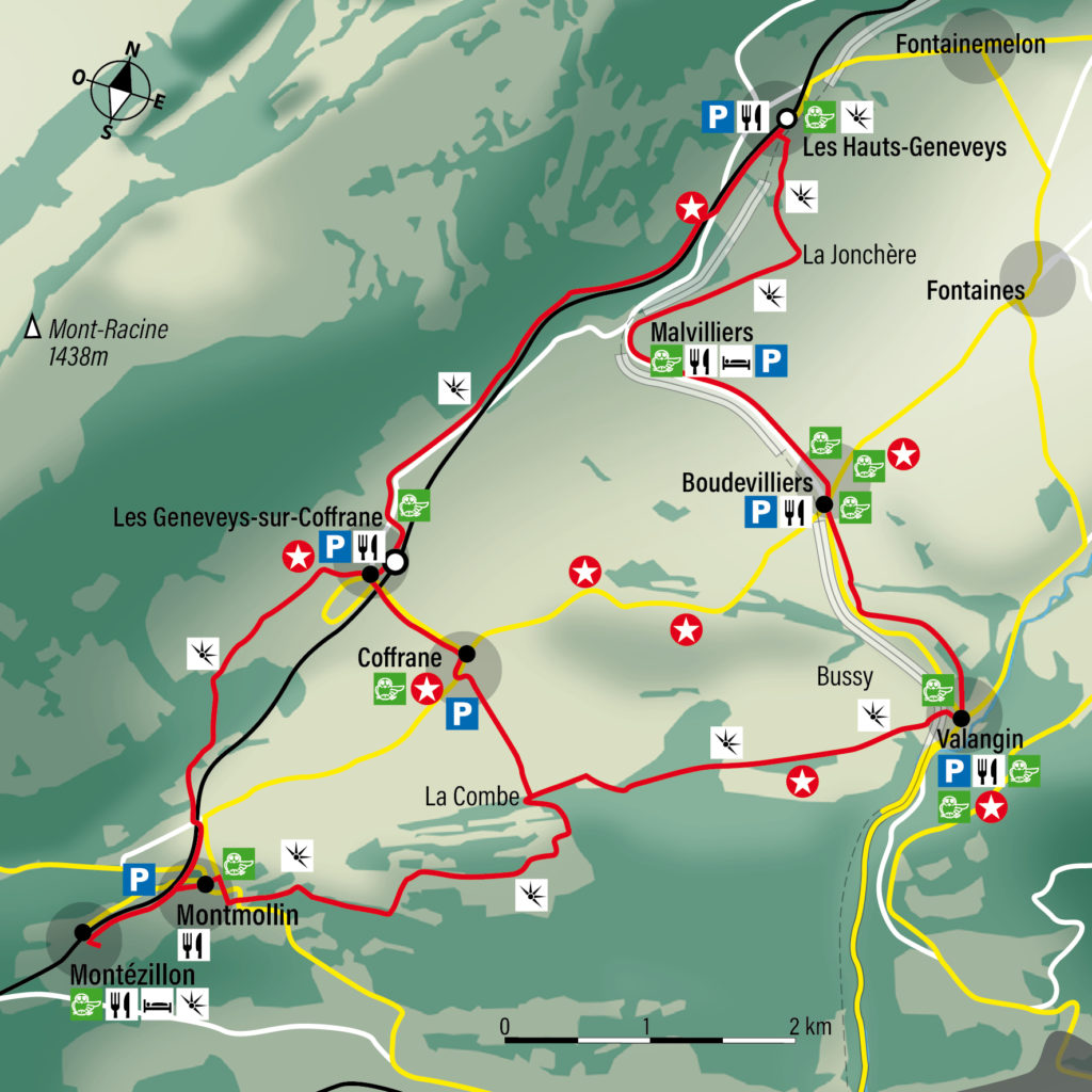 |
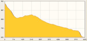
Course Les Hauts-Geneveys – Coffrane – Valangin – (print)
|
||||||||||||
|
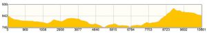
Course Les Hauts-Geneveys – Montmollin – Valangin – (print)
|
||||||||||||
|
Course Les Hauts-Geneveys – Boudevilliers – Valangin – (print)
|
||||||||||||
|
Loop Les Geneveys-sur-Coffrane via Montmollin – (print)
|
||||||||||||
|